
Career profile

Geoscientist

Geoscientists interpret rocks and underground layers to guide decisions about resources or land use.

What lies in the hidden ground between two drill holes? You take measurements from scattered spots and piece them into an explanation of the geology.
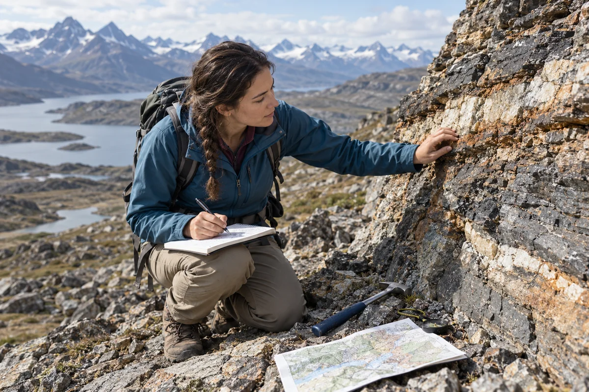
Geoscientist examines a rock outcrop and records observations.

A day in the life

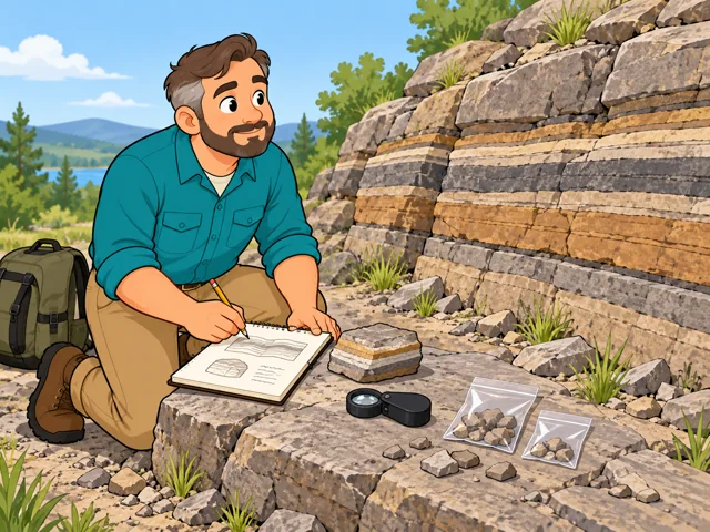
1A geoscientist kneels beside a banded rock outcrop, recording observations with collected samples beside his notebook.

Sample an exposed rock face

Examine the exposed rock, collect samples, and write notes to check against other material at the office.
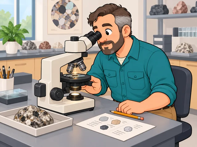
2The geoscientist examines a rock thin section through a microscope, with the original specimen and mineral sketches on the bench.

Classify a sample by microscope

Under a microscope, you study the specimen's minerals and texture, then sort what you find into categories.
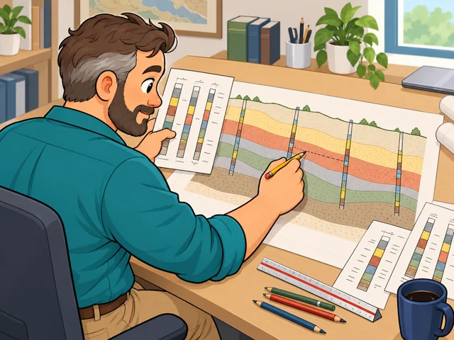
3Viewed over his shoulder, the geoscientist compares borehole diagrams and draws how rock layers may connect underground.

Sketch a cross-section from boreholes

Cross-check the borehole records and sketch a side view of how rock layers may connect underground.
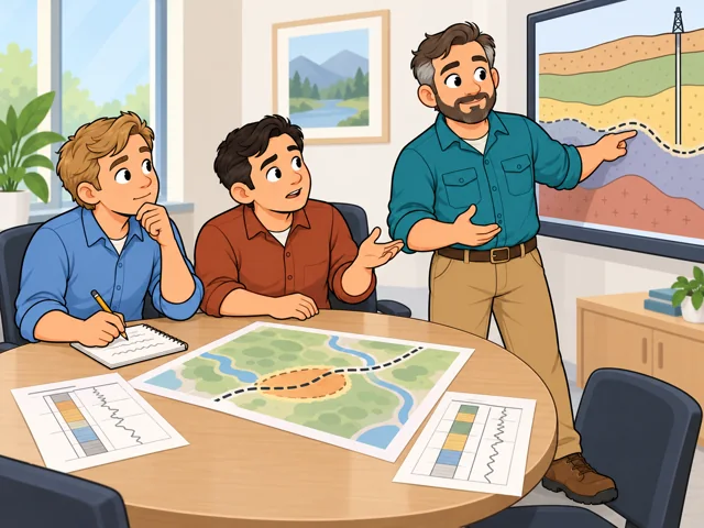
4The geoscientist explains an uncertain underground layer to two colleagues as they compare the finding with a proposed plan and discuss further checks.

Present a finding that shifts plans

Walk coworkers through the results, answer their questions, and spell out what still needs checking before anyone decides.

Quick facts

Preparation

Bachelor’s degree

United States · 2025–2035

Pay

$101,920/year

United States · May 2025

Outlook

5.1% growth

United States · 2025–2035

Quick orientation

Preparation, pay & outlook

Preparation

Bachelor’s degree

Typical education for entry into geoscience.

Geography
United States
Period
2025–2035

Pay

$101,920/year

National median, equivalent to $49.00/hour; excludes hydrologists and geographers.

Geography
United States
Period
May 2025

Outlook

5.1% growth

Projected employment growth, with about 1,800 openings annually; excludes hydrologists and geographers.

Geography
United States
Period
2025–2035

Fit, tradeoffs & changing tools

Things to weigh

  • Fieldwork can mean extended travel and time away from home.
  • Some weeks exceed 40 hours; field schedules can be irregular.

Where AI may help

Artificial intelligence can help convert old paper maps into usable digital data. Map-digitization research has demonstrated tools that extract boundaries, symbols, and their locations.

What people still lead

You still evaluate geological evidence and explain what a finding means for the decision at hand.

What we can’t predict yet

How much map tracing becomes automatic depends partly on whether software handles crowded symbols and unfamiliar map styles reliably. Checking its output may remain substantial work.

Pay in context

Earnings

The national median is $101,920 a year, or $49.00 an hour. It is a midpoint across workers, not a starting offer.

The spread is wide

The 10th-percentile annual wage is $59,330; the 90th is $200,230. These describe the pay distribution, not beginner and senior salaries.

Geography
United States
Period
May 2025
Pay basis
Annual wages; geoscientists except hydrologists and geographers

Workplace type matters

Annual medians were $158,590 in mining, quarrying, and oil and gas extraction; $119,430 in federal government excluding postal service; and $83,190 in architectural, engineering, and related services.

Geography
United States
Period
May 2025
Pay basis
Industry median annual wages for geoscientists except hydrologists and geographers; not individual offers

Openings include replacement hiring

Employment is projected to grow 5.1%, with about 1,800 openings per year. Openings include replacing departing workers, so they exceed the number of newly created jobs.

Geography
United States
Period
2025–2035
Pay basis
Employment projections for geoscientists except hydrologists and geographers; not a wage measure

Getting started

Study geoscience

What the route involves
Complete a geoscience or related bachelor’s degree with science coursework and geological fieldwork.
What it can lead to
Build preparation for entry positions; some employers prefer a master’s or doctoral degree.

Combine coursework and experience for federal geology

What the route involves
Meet the federal geology coursework standard, including 20 additional semester hours in listed supporting subjects, plus appropriate experience or additional education.
What it can lead to
Meet the alternative basic qualification for federal Geology Series 1350 jobs; each vacancy also has grade-specific requirements.
What to check
This is not an experience-only shortcut. Experience must develop professional geological knowledge; collecting samples alone is insufficient.

A bachelor’s degree is the usual starting point. A federal route also recognizes a specified combination of coursework and experience.

After entry

Career paths

This starts where the entry routes leave off: early work, growing capability, and advancement or specialization. This path also has a credential or licensing boundary; see the requirements and limits.

  1. Get established

    Learn to maintain geological databases and evaluate incoming measurements so others can use your records.

  2. Own an investigation

    Develop toward conducting field investigations, writing the report, and answering questions about your findings.

  3. Lead geological projects

    Move toward leading investigation teams and giving other geologists technical guidance.

Where you can work

Oil and gas exploration

Work with petroleum engineers to locate deposits. Drilling samples and geological interpretation connect field evidence to extraction decisions.

  • Field work
  • Office
  • Lab

Federal land and resource agencies

Some roles focus on reviewing drilling or mineral-exploration proposals for public lands. Office work may alternate with visits to mines or remote sites.

  • Office
  • Field work
  • Travel

Try it

See whether the job clicks before you commit to the path.

Choose a photograph of exposed, layered rock. Sketch the layers, label what you can actually see, and draw a possible continuation underground with dashed lines. Write one observation that could test your interpretation. Notice whether separating evidence from inference interests you.

Stay safe: Use a photograph; no climbing or rock collecting is needed.

Explore more careers

Sources

  1. O*NET OnLine. Geoscientists, Except Hydrologists and Geographers. Accessed 2026-10-04.
  2. U.S. Bureau of Labor Statistics. Geoscientists. Accessed 2026-10-04.
  3. O*NET OnLine / U.S. Bureau of Labor Statistics. National Wages: Geoscientists, Except Hydrologists and Geographers. Accessed 2026-10-04.
  4. U.S. Bureau of Labor Statistics. Occupational projections and worker characteristics. Accessed 2026-10-04.
  5. U.S. Office of Personnel Management. Geology Series 1350. Accessed 2026-10-04.
  6. U.S. Department of the Interior. Geology — GS-1350. Accessed 2026-10-04.
  7. National Association of State Boards of Geology. Frequently Asked Questions. Accessed 2026-10-04.
  8. Weiwei Duan and coauthors. DIGMAPPER: A Modular System for Automated Geologic Map Digitization. Accessed 2026-10-04.

Your message goes to the Great Jobs team. How we use your information