
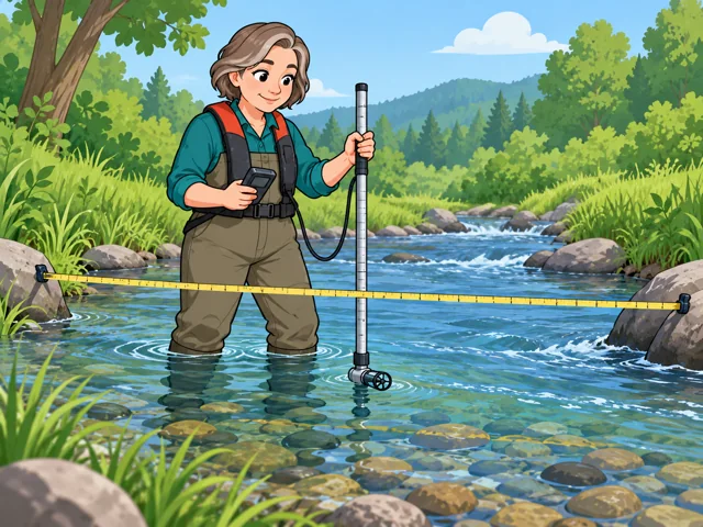
Measure how much water flows
Clock the water's speed with a current meter, then pair it with channel measurements to get flow volume.
Career profile
Hydrologic technicians track how water moves and changes, then turn field data into usable records.
Every river-height chart starts at the water's edge, where you might check instruments, sample water, test sensors against hand readings and help explain suspect numbers.
Clock the water's speed with a current meter, then pair it with channel measurements to get flow volume.
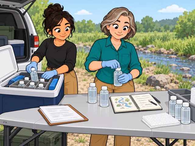
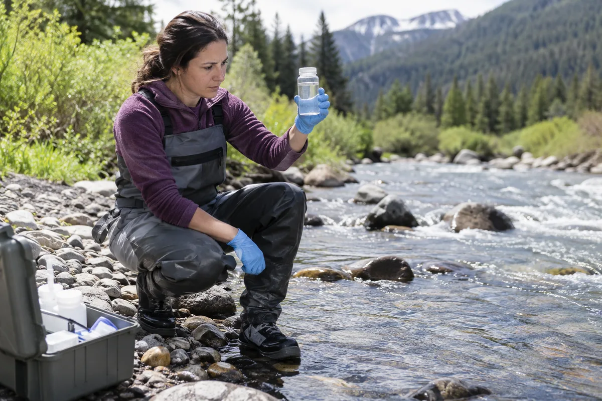
Fill sample bottles, note where each came from and get them ready to ship to a testing lab.
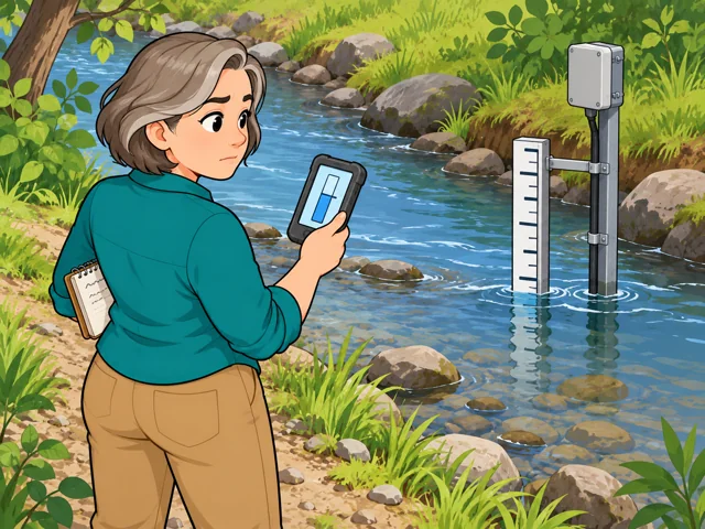
Read the fixed gage beside the stream, compare it with the sensor and look into any difference.
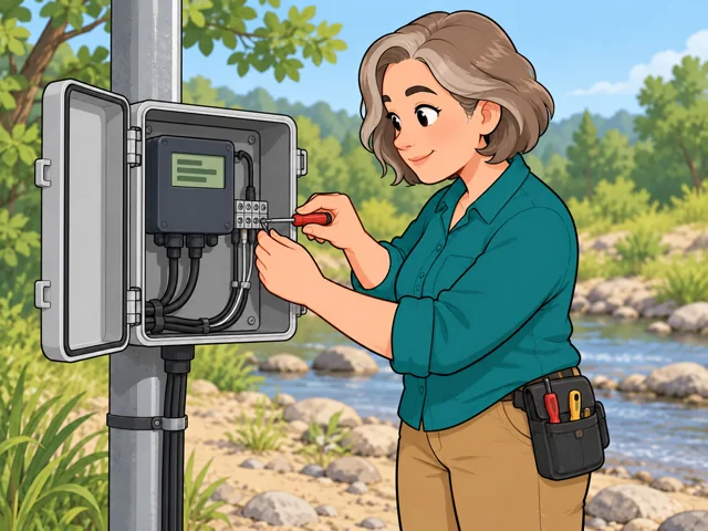
Calibrate the water-level recorder and handle small repairs so it keeps collecting data.

Plot water levels, check them against field notes and verify the math before you build tables.
United States · 2025–2035
United States · May 2025
United States · 2025–2035
Quick orientation
Typical entry education; some employers also accept qualifying experience.
National median for hydrologic technicians, equivalent to $31.15 an hour.
Employment is projected to edge down, with about 400 openings a year on average.
Sensors can record water levels automatically and transmit readings, reducing repeated manual collection.
You still compare readings with field measurements, troubleshoot instruments, and notice conditions that affect the record.
How much record checking can be automated remains uncertain, especially when equipment fails or water conditions change unexpectedly.
Pay in context
The national median was $64,790 a year, or $31.15 an hour, in May 2025. Treat it as a reference point when comparing offers.
The 10th-percentile wage was $44,950 and the 90th-percentile wage was $100,480 a year. These describe the wage distribution across hydrologic technicians, not starting and senior salaries.
Employment is projected to decline 1.3% from 2025 to 2035, while averaging about 400 openings annually. Openings include replacements for people who leave the occupation; they do not all represent new jobs.
Education and relevant experience can both count. These U.S. Geological Survey (USGS) routes illustrate federal eligibility; check each vacancy's requirements.
After entry
This starts where the entry routes leave off: early work, growing capability, and advancement or specialization.
Make routine measurements consistently and keep clear field notes. Learn when an unexpected result needs your supervisor's help.
Build skill in instrument calibration and investigating questionable records. Learn how equipment faults and changing field conditions affect the numbers.
Senior USGS technicians may audit complex records, train coworkers, or specialize in water quality, streamflow, or monitoring instruments.
You work around water and monitoring equipment. Some assignments involve wading or boats, with weather and footing shaping the day's work.
Some positions concentrate on sample processing, limited laboratory tests, and checking records indoors. They involve less physical exertion than field assignments.
Try it
Open a stream's graph in USGS Water Data for the Nation. Record the units, highest reading, and one sudden change. Write one question you would ask before trusting that change. Notice whether checking the record interests you as much as seeing the river.