
Career profile

Geodetic Surveyor

Geodetic surveyors fix survey marks across large regions in one frame fitted to Earth's curve.

Readings miles apart have to fit together as one set. Geodetic surveyors help by setting dependable anchor points that maps and engineering work rely on.
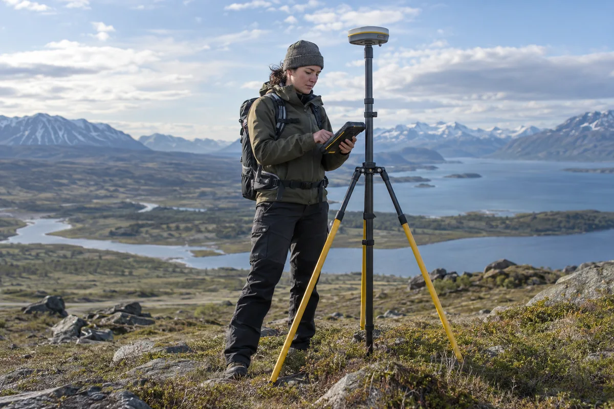
A geodetic surveyor checking a satellite positioning antenna in the field.

A day in the life

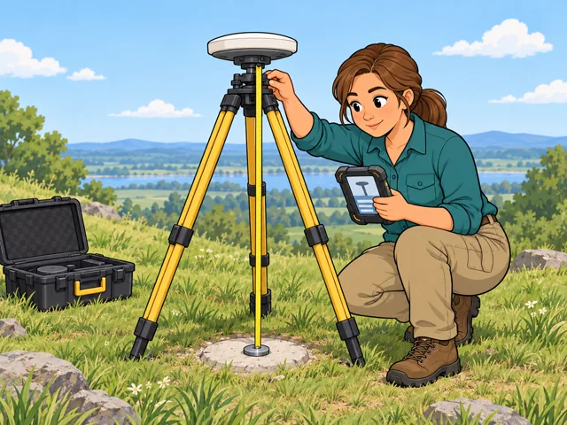
1A surveyor crouches beside a tripod-mounted satellite antenna, measuring its height above a ground survey mark and recording the setup on a field controller.

Set an antenna over a mark

Center the antenna over the survey mark, then note its height and model before logging satellite signals.

2A surveyor calculates a survey-point network at a computer while a coworker points to a matching point on a paper diagram.

Solve coordinates for a network

Work out coordinates for a linked network of marks so every project reading rests on one steady base.
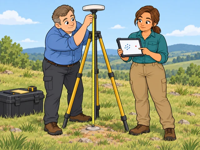
3A surveyor points out a mismatched repeated measurement on a tablet while a coworker rechecks the satellite antenna height for another observation.

Chase down a reading that disagrees

Compare repeat readings, and if they do not meet project precision, review the setup and schedule a remeasure.
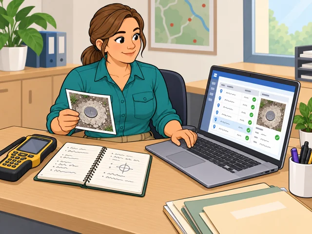
4A surveyor checks field documentation against a digital survey-point record and saves its coordinates, description and quality checks.

Log each mark in the database

Enter coordinates, mark descriptions and quality-check results in the survey database for others to understand and use later.

Quick facts

Preparation

Bachelor's degree

United States · 2026

Pay

$75,440 median

United States · May 2025

Outlook

5.8% growth

United States · 2025–2035

Quick orientation

Preparation, pay & outlook

Preparation

Bachelor's degree

Typical preparation; substantial practical learning also matters.

Geography
United States
Period
2026

Pay

$75,440 median

$36.27 an hour for all surveyors. Pay is not reported separately for geodetic surveyors.

Geography
United States
Period
May 2025

Outlook

5.8% growth

Projected for all surveyors, 2025–2035; no separate geodetic projection is reported.

Geography
United States
Period
2025–2035

Fit, tradeoffs & changing tools

Things to weigh

  • Field assignments can mean bad weather, carrying instruments, travel and longer days.
  • A completed observation may need repeating. Careful checking can take longer than collecting the first measurement.

Where AI may help

The Online Positioning User Service (OPUS) can turn survey-grade satellite observations into coordinates tied to the national reference system.

What people still lead

You check the antenna information and whether the results are usable. Software cannot detect every incorrect input.

What we can’t predict yet

How much checking future tools can take over remains uncertain, especially when poor observations and setup mistakes produce plausible results.

Pay in context

Earnings

Geodetic-surveyor pay is not reported separately. The national figures below cover all surveyors.

Median and national spread

In May 2025, the median was $75,440 a year, or $36.27 an hour. The 10th-percentile wage was $46,880 and the 90th-percentile wage was $125,590. Those are positions in the wage distribution, not starting and senior salaries.

Geography
United States
Period
May 2025
Pay basis
Employee wages for Surveyors, SOC 17-1022; annual and hourly medians and annual wage percentiles

Openings across surveying

Employment is projected to grow 5.8% from 2025 to 2035, with about 3,100 openings annually across all surveyors. Openings include replacement needs as well as growth.

Geography
United States
Period
2025–2035
Pay basis
Employment projection and annual average openings; not a compensation measure

Getting started

Study surveying or a surveying-focused engineering degree

What the route involves
Study surveying, including geodetic measurements and survey calculations. A civil engineering degree with a surveying emphasis is another option.
What it can lead to
A qualifying degree can meet the basic education requirement for federal land-surveying positions that include this work.
What to check
Federal civil engineering applicants need specified surveying, land-law and related coursework. Check the vacancy's full requirements before choosing courses.

Build experience as a surveying technician

What the route involves
Join a survey crew and learn measurement and recordkeeping under an experienced surveyor.
What it can lead to
Practical experience can support a later move into surveyor work; seek projects involving reference points and coordinate networks to develop toward geodetic work.
What to check
This is not an automatic substitute for a degree. Further education, experience and state requirements depend on the position and intended practice.

Build both the mathematics and the measurement skills. Look for study or work that includes geodetic control and coordinate calculations.

After entry

Career paths

This starts where the entry routes leave off: early work, growing capability, and advancement or specialization. This path also has a credential or licensing boundary; see the requirements and limits.

  1. Make your measurements repeatable

    Get consistent with antenna records, repeat observations and reviewing processing reports.

  2. Resolve coordinate mismatches

    Develop the judgment to reconcile measurements and work between coordinate systems.

  3. Lead geodetic projects

    Plan crew work, advise on measurement methods and train others to check results.

Where you can work

Geodetic field teams

Federal field projects can support airport charts and coastal mapping. You work where observations are needed, with equipment logistics, weather and travel shaping the day.

  • Field work
  • Outdoors
  • Travel
  • Physical demands

Reference-system offices

At the National Geodetic Survey, office teams maintain the network of continuously operating reference stations and guide field projects. The emphasis is keeping shared positioning data usable across many projects.

  • Office
  • Indoors

Try it

See whether the job clicks before you commit to the path.

On graph paper, mark three points. Give their coordinates from the lower-left corner, then move the origin two squares right and recalculate. Explain why the numbers changed although the points did not. See whether sorting out reference systems interests you.

Explore more careers

Sources

  1. O*NET OnLine. Geodetic Surveyors — 17-1022.01. Accessed 2026-10-11.
  2. NOAA National Geodetic Survey. Datums and Reference Frames. Accessed 2026-10-11.
  3. NOAA National Geodetic Survey. OPUS: About the Online Positioning User Service. Accessed 2026-10-11.
  4. U.S. Bureau of Labor Statistics. Occupational Outlook Handbook: Surveyors. Accessed 2026-10-11.
  5. U.S. Bureau of Labor Statistics. May 2025 Occupational Employment and Wage Statistics: National Surveyors estimates, SOC 17-1022. Accessed 2026-09-29.
  6. U.S. Bureau of Labor Statistics. Employment Projections Table 1.2: Surveyors, 2025–2035. Accessed 2026-09-29.
  7. U.S. Office of Personnel Management. Land Surveying Series 1373: Qualification Requirements. Accessed 2026-10-11.
  8. National Council of Examiners for Engineering and Surveying. Licensure: Surveying. Accessed 2026-10-11.
  9. NOAA National Geodetic Survey. NGS Divisions. Accessed 2026-10-11.

Your message goes to the Great Jobs team. How we use your information