Surveying and Mapping Technician
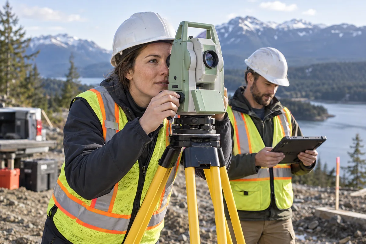
Measure land features and turn field records into usable maps.
View profileCareer field
Explore work that measures land and turns location data into maps.
6 careers · grouped by type of work
Measure land features and turn field records into usable maps.
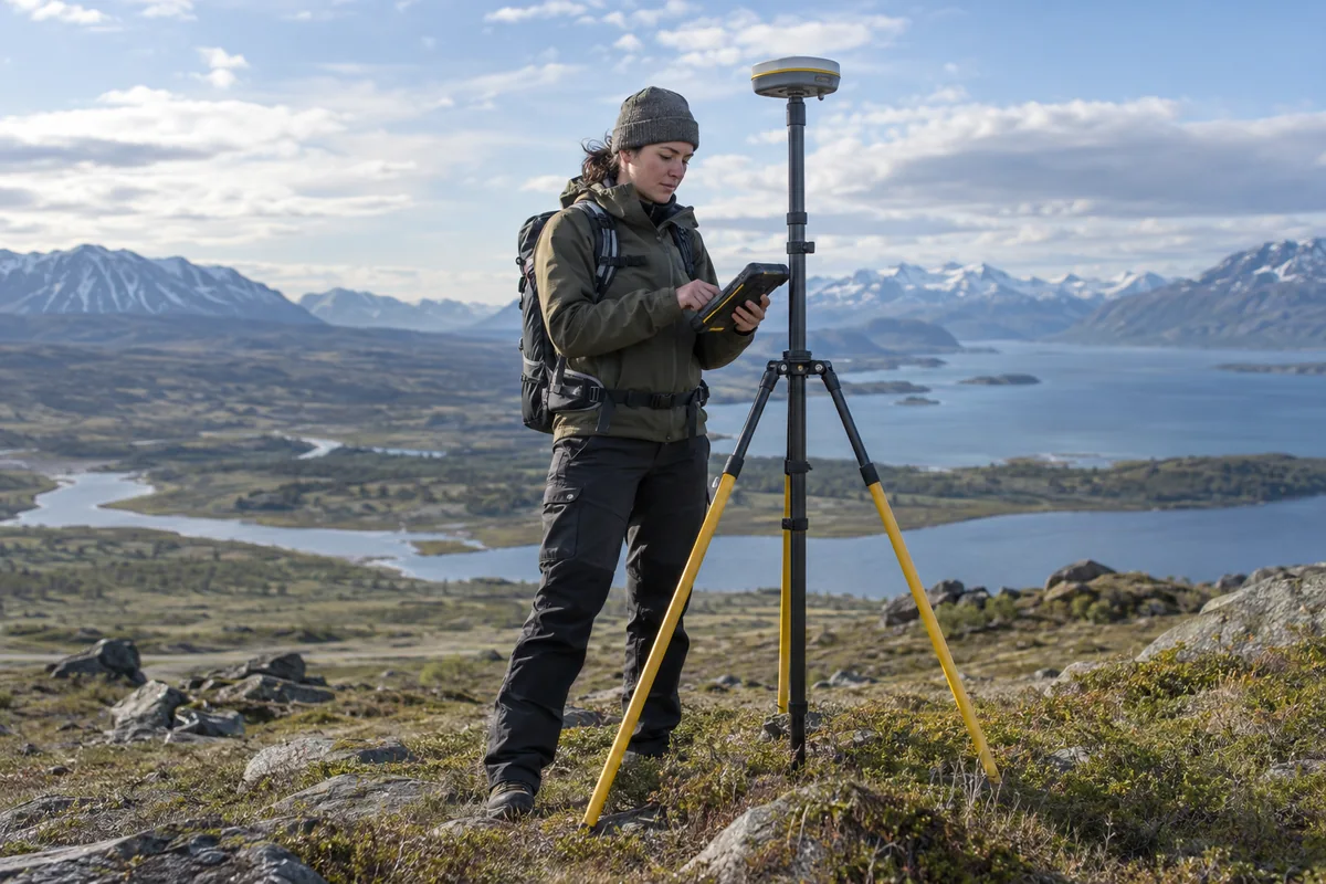
View profileUse satellite measurements and coordinate systems to connect precise positions across large areas of Earth.
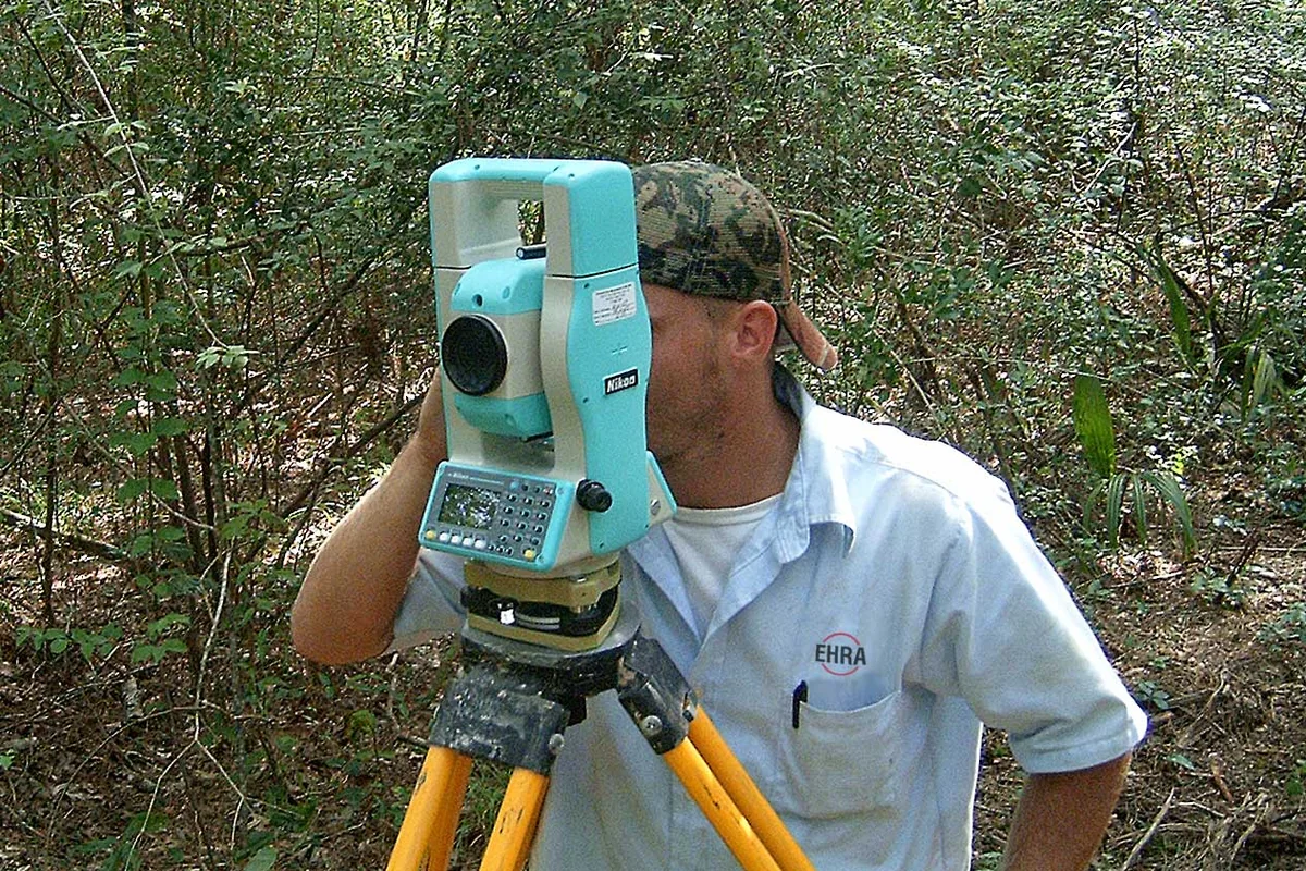
View profileLand surveyors connect deeds and old survey records with measurements on the ground to establish where property boundaries belong.
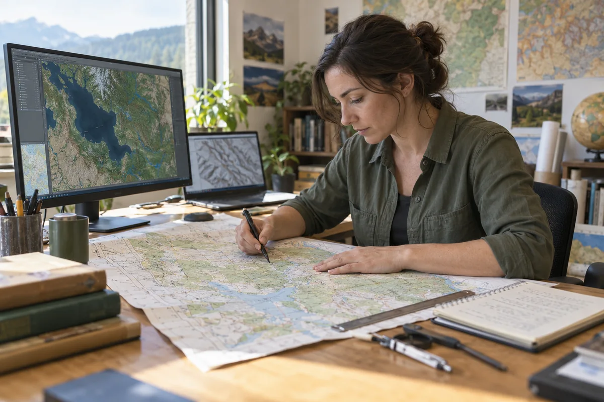
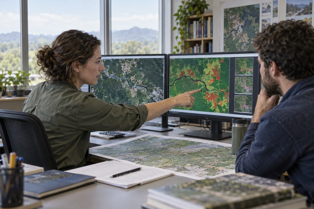
View profileYou turn geographic data into readable maps, choosing what to show, checking locations, and making labels and symbols work together.
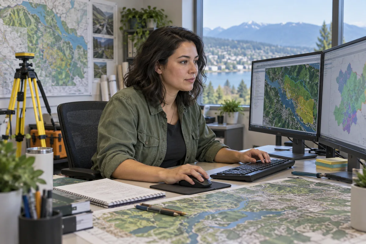
View profileKeep digital maps and the records behind them accurate using geographic information systems (GIS).
View profileTurn satellite and airborne measurements into evidence about Earth.
View profile